
.jpg?20260608')
BAHRAIN has submitted a project that uses satellite data to locate underground water resources – offering new hope in the global fight against drought and desertification.
The project was submitted by the Bahrain Space Agency (BSA) as part of the ‘Space for Water’ initiative, in collaboration with the United Nations Office for Outer Space Affairs and the Prince Sultan bin Abdulaziz International Prize for Water, which aims to explore potential groundwater using space technologies.
The ground-breaking study was led by space engineer Aisha Al Jowder, in partnership with experts from Brazil and the UK, and is a model for innovative solutions based on space data to serve geographically small countries.

Ms Al Jowder
The project relied on three methodologies to measure soil moisture and land elevations, which helped identify potential locations of shallow groundwater in Bahrain and its potential for recharge.
Ms Al Jowder described her participation in the project as a highly rewarding experience, marked by the exchange of expertise to develop technical solutions for real-world challenges in collaboration with partners from various countries.
She thanked the UN Office for Outer Space Affairs for providing the opportunity to take part in this initiative, explore challenges and propose solutions under the ‘Space for Water’ initiative, which aims to promote space-based technologies to address pressing environmental issues.
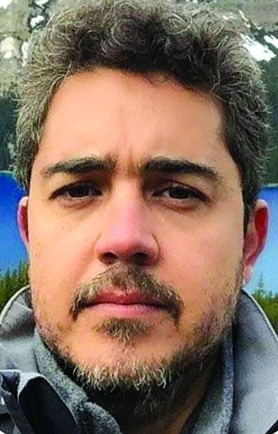
Dr Teixeira
For his part, Brazilian expert Dr Alexandre Teixeira said that he had the opportunity to collaborate with the team from Bahrain and the UK on the new project idea aimed at addressing global water challenges through the use of space technologies.
Despite his extensive experience in developing water resource management solutions in Brazil at the continental level, he described this project as a valuable experience that broadened his perspective.
Dr Teixeira is an experienced GIS (Geographic Information System) specialist at ANA, the National Water and Sanitation Agency of Brazil, who uses innovative and advanced geospatial technologies to teach and assist in decision-making.
He is also a Spatial Database Systems Instructor at the post-graduate programme of the Geoscience Institute of the University of Brasilia.
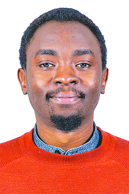
Mr Kasiti
Meanwhile, Felix Kasiti, a PhD researcher at University of Stirling in Scotland whose work focuses on water-related issues, described his experience working on the project with teams from Bahrain and Brazil as both exceptional and rewarding.
He highlighted the value of using Earth observation data to address real-world water-related challenges and support informed decision-making.
He also noted the inspiring collaboration between institutions and experts from diverse regions, all coming together for a shared goal.
BSA remains an active member of the ‘Space for Water’ initiative through its participation in various meetings and fora.
The initiative aims to harness space technologies and develop innovative solutions for water-related challenges, an issue of growing global significance.
&uuid=(email))