

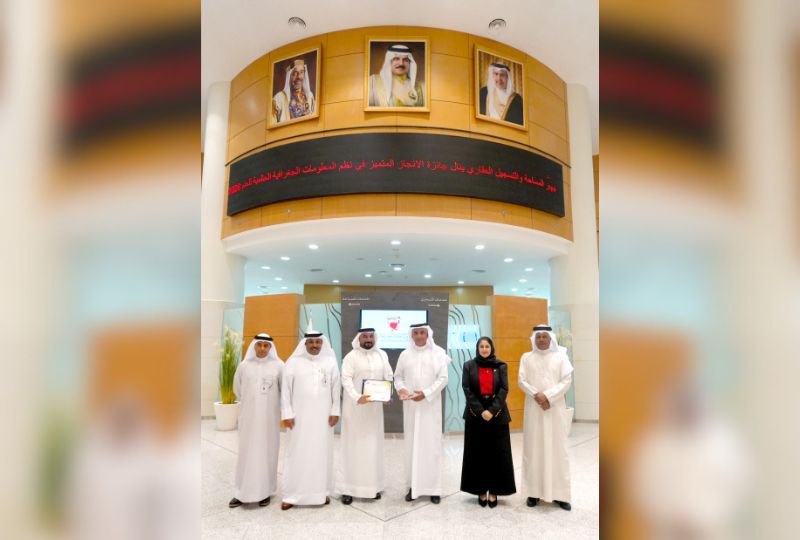
The Survey and Land Registration Bureau (SLRB) has achieved another milestone for Bahrain after its geoportal platform was awarded the 2026 Special Achievement in GIS (SAG) Award, presented by Esri during the Esri User Conference 2026, the world’s largest gathering dedicated to Geographic Information Systems (GIS).
The conference, held in San Diego, California, USA, brought together more than 15,000 leaders and professionals in technology, innovation and GIS from over 130 countries.
The SAG Award is one of the most prestigious global recognitions in the field of GIS. It is presented annually to organisations and projects that demonstrate exceptional excellence in leveraging GIS technologies and digital innovation, following a rigorous evaluation of Esri users and experts from around the world.
On the occasion, SLRB president Eng Basim bin Yacob Al Hamer affirmed that this achievement is the result of the continuous support and attention accorded to Bahrain’s digital transformation and innovation journey, within the framework of the kingdom’s comprehensive development process led by His Majesty King Hamad and under the directives of His Royal Highness Prince Salman bin Hamad Al Khalifa, Crown Prince and Prime Minister. This support has contributed to fostering a national environment conducive to innovation and empowering government entities to develop advanced digital solutions in line with international best practices.
He also commended the sustained institutional efforts of the project team, which has worked over the past two years to develop the geoportal platform based on a clear strategic vision centred on innovation, data integration, and the adoption of the latest geospatial technologies.
He further praised the advanced capabilities of Bahraini professionals in geospatial data and digital innovation, highlighting the project team’s expertise and professionalism in delivering solutions that rival leading international practices.
He added that the geoportal platform is one of SLRB’s strategic initiatives aimed at developing and managing the geospatial data infrastructure. The platform provides advanced solutions that support government entities through an integrated ecosystem, enabling real-time data sharing and updates while enhancing government efficiency.
The platform incorporates a wide range of advanced technologies and services, including 3D geospatial data, digital twin technology, virtual field exploration, spatial analytics tools and direct system integration, in addition to leveraging artificial intelligence for data search and analysis. These capabilities enhance the effective use of geospatial information in planning, development and informed decision-making.
&uuid=(email))