

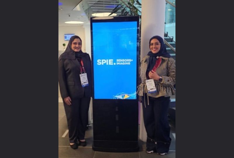
The Bahrain Space Agency (BSA) participated in the international SPIE Sensors + Imaging conference in Scotland, represented by Roaya Bubshait, Head of the Satellite Data and Image Analysis Lab, and Aysha Al Haram, Chief of the Satellite Design Department, who presented two research papers on artificial intelligence technologies and Earth observation. The papers received wide recognition from attendees, supervisors and specialised experts.
The participation was part of a joint research programme between the BSA and the University of Strathclyde in the United Kingdom, bringing together the expertise of both sides to address environmental and infrastructure monitoring in the Gulf region through remote sensing and artificial intelligence technologies.
Bubshait said that her research paper addresses a specific environmental challenge involving the monitoring of temporary water bodies resulting from rainfall in extremely arid coastal environments. These water bodies form and disappear rapidly, making them difficult to capture using traditional methods, while having various impacts on infrastructure and quality of life.
She explained that the research adopted an innovative methodology integrating radar and optical data and using deep learning techniques, an artificial intelligence technology, to accurately identify the locations of these water bodies. This opens promising prospects for water resource management, environmental change monitoring and climate adaptation in arid areas.
Al Haram said that her research addresses a key challenge in hyperspectral space imaging: improving the spatial resolution of images without compromising their spectral signatures, which enable materials on the Earth’s surface to be identified and distinguished.
She explained that the research adopted an innovative methodology that guides artificial intelligence models towards preserving the spectral regions most relevant to distinguishing between materials under real-world space imaging conditions.
Al Haram noted that the significance of the research lies in linking satellite image analysis with the design of satellites and their imaging payloads, allowing application requirements to directly inform space-system design decisions. This opens promising prospects for applications including monitoring urban infrastructure and assessing its condition, tracking environmental changes, detecting and distinguishing targets and structures, detecting camouflage, and supporting decision-making with more accurate and reliable information.
The attendees commended the scientific value of the two research papers, the depth of their methodologies, and the practicality and relevance of their applications to regions that share similar climatic conditions and infrastructure characteristics with the Kingdom.
The participation adds to the Kingdom’s record at international scientific forums and highlights the ability of national expertise to compete in advanced space sciences and harness them in support of sustainable development and environmental protection.
The two researchers continue their work on joint research projects between the BSA and the University of Strathclyde, seeking to develop accurate tools that improve data-driven decision-making based on real-world data and further advancing Bahrain’s position in this vital domain.
&uuid=(email))